 Voice of Lango
Voice of Lango
Voice of Lango
27 March 2026, 8:00 pm

By Joshua Olomo
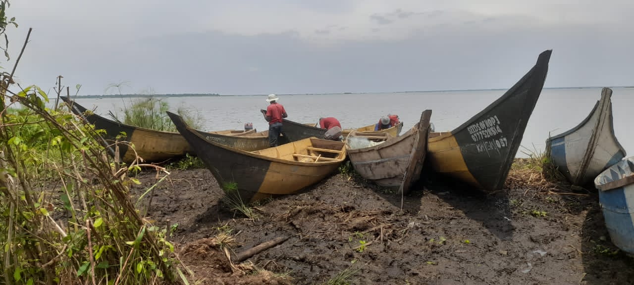
As part of efforts to mitigate lake shore encroachment and prevent displacement of communities along Lake Kwania, the Ministry of Water and Environment has launched a boundary-marking exercise along the lake shores.
The initiative, which began last year in Atongtidi and parts of Chawente Sub County, will now extend to Nambieso, Ayabi Sub County, and Ayabi Town Council.
Speaking during a recent training session for local leaders at Chawente Sub County headquarters, Fausia Namukuve, Principal Environment Officer at the Ministry, said the exercise aims to demarcate the lake boundary and curb encroachment that contributes to flooding and displacement.
Jimmy Okweny, Kwania District Environment Officer, explained that mark stones will be installed 200 meters from the lake, creating a buffer zone.
He noted that previously, locals carried out activities such as potato and tomato farming and animal grazing along the lake shores, but government had not yet envisioned the risk of floods affecting these activities.
Emma Okalang, Natural Resource Officer for Kwania, urged residents to protect Lake Kwania and the surrounding environment.
Community members Moses Alem, Beatrice Alele, and Patrick Okula of Chawente welcomed the initiative, saying it will help communities identify the lake buffer zone, curb encroachment, and reduce the risk of flooding.