
 LUO FM
LUO FM
LUO FM
8 September 2026, 6:31 pm
By Bonny Mike Okello
There is growing confusion among residents of Omiya Pachwa Sub-county in Agago District after a recent land survey reportedly showed that large portions of their ancestral land fall within neighbouring Karenga District.
The residents say they inherited the land from their ancestors and had expected to receive formal land titles through a government-supported programme.
However, a recent survey reportedly showed that much of the contested land is designated as a Wildlife Conservation Area under the Uganda Wildlife Authority (UWA).
The development has raised questions about land ownership, district boundaries, wildlife conservation and attempts by some individuals to secure investors on the disputed land.
For years, residents of Omiya Pachwa Sub-county in Agago District have considered the land inherited from their ancestors their home.
However, the recent survey has left them questioning whether the land they call home is actually within Agago District.
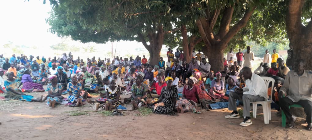
Rev John Ongom, the former interim chairperson of the Omiya Pachwa Sub-county Land Owners Association, an organisation bringing together 28 clans, said a team from the Ministry of Lands previously visited the area and began the process of surveying and documenting the land.
The clans were reportedly issued temporary certificates as they awaited formal land titles from the Ministry.
However, the issue resurfaced recently after some clan members suspected that individuals were attempting to engage investors over the land without consulting the wider community.
A new survey was therefore conducted.
The current chairperson of the Omiya Pachwa Sub-county Land Owners Association, Bosco Can Ogura, says the 28 clans came together in 2023 following an initiative associated with the Parish Development Model and an investment proposal involving Tera Agro, reportedly piloted by Ogenga Otunu.
Can Ogura says the land was mapped and divided among the clans, with the total area estimated at about 320,000 acres.
He says the names of the clans were submitted to surveyors and the mapping exercise began, although it was not completed.
According to Can Ogura, the district later issued temporary documentation as they awaited official certificates from the Ministry of Lands.
However, concerns emerged when some individuals allegedly began pursuing separate arrangements over the land.
Can Ogura says that after taking over the leadership of the association, he met Ocan Justin, a resident of Pajule in Pader District, who was reportedly coordinating efforts to obtain land titles with a company.
Can Ogura says they were advised not to rush into obtaining titles before confirming the exact location and status of the land.
Can Ogura says he immediately notified the Member of Parliament for Agago North about the matter.
He also says the number of clans appearing in some of the documents has increased from the original 28 to 35, raising further questions about ownership of the disputed land.
The Agago District LCV Chairperson, Hon. Otto Wilson, says he is not yet fully briefed on the matter.
He says he will first visit the area and establish the facts before making a substantive comment.
Meanwhile, the Member of Parliament for Agago North, Hon. Lugwar Benson, says the matter requires further investigation.
Hon. Lugwar says that on 30 August, the Parliamentary Committee on Wildlife held a meeting in Orom, which he attended.
He says one of the major issues discussed was the status of the alleged Wildlife Conservation Area.
The MP questions how the boundary could extend into Agago, arguing that, to his understanding, the boundary of Kidepo Valley National Park does not extend into Agago District.
He says investigations are ongoing to establish exactly which land has been titled and under whose authority.
The conflicting claims have left residents of Omiya Pachwa demanding clarity over the exact boundary between Agago and Karenga districts and the legal status of their ancestral land.
With questions surrounding land titles, clan ownership, investors and the Uganda Wildlife Authority, residents are calling for an official and transparent survey to establish who legally owns the disputed land.